
A DRIVE AROUND TOWN
Charlottesville - Virginia - 4K Downtown Drive
Charlottesville - Virginia - 4K Downtown Drive.
Watch on YouTube ↗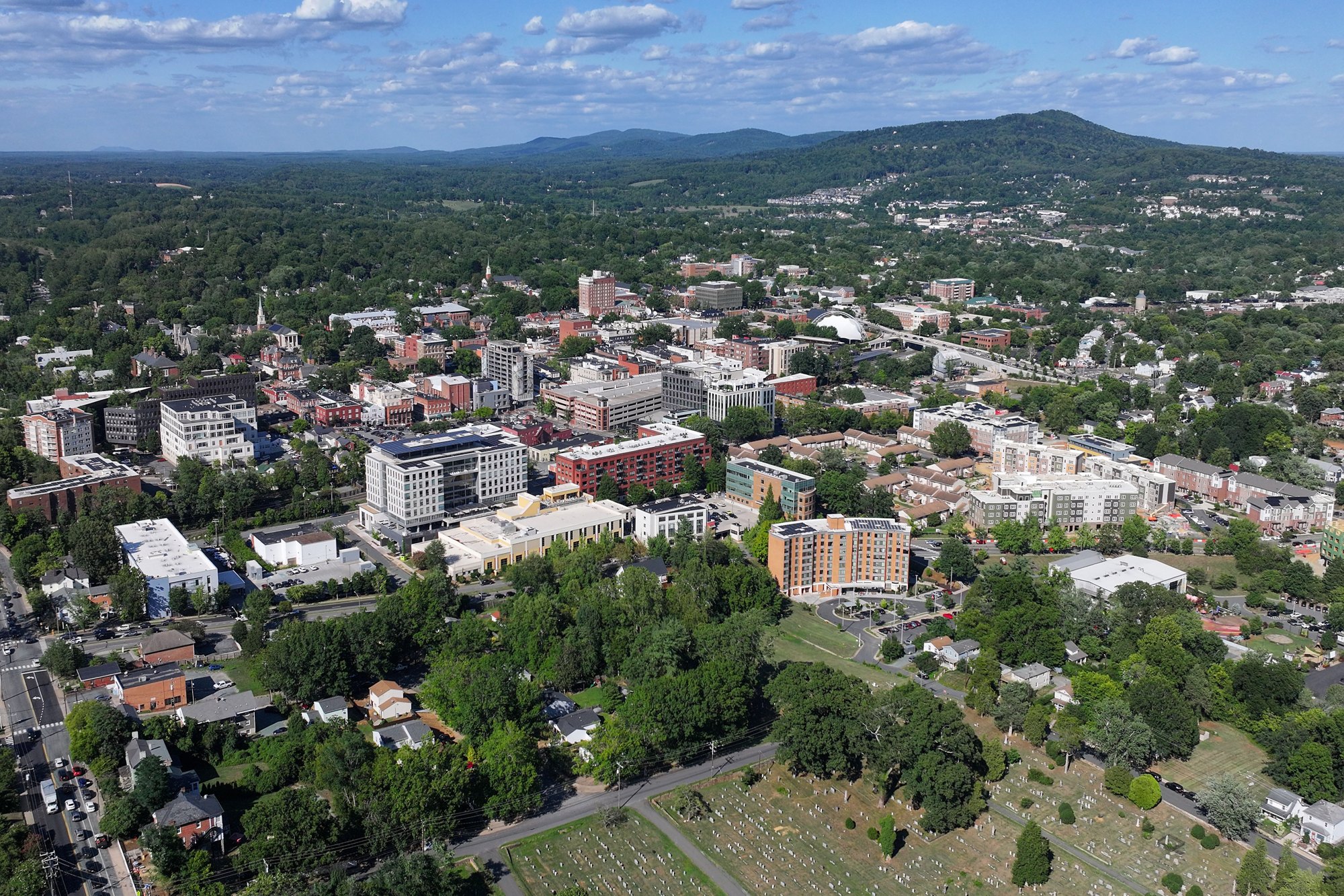
Outdoors
40 national forests, lakes, parks and campgrounds within reach, by activity.
33 places · closest 18 mi
Loft Mountain Campground, Lewis Mountain Campground and more
Best: February–June, September–December
20 places · closest 18 mi
Loft Mountain Campground, Lewis Mountain Campground and more
Best: March–November
26 places · closest 28 mi
Sherando Lake Group Camp, Sherando Lake Group Picnic Shelter and more
9 places · closest 28 mi
Sherando Lake Group Picnic Shelter, Sherando Lake Recreation Area Family Camping and more
Best: April–October
13 places · closest 16 mi
Green Springs, Big Meadows Campground - Shenandoah (VA) and more
Best: February–December
11 places · closest 27 mi
Lewis Mountain Campground, Sherando Lake Group Picnic Shelter and more
Best: April–October
7 places · closest 31 mi
Shenandoah National Park, Bear Creek Lake State Park and more
Best: February–December
24 places · closest 18 mi
Loft Mountain Campground, Lewis Mountain Campground and more
11 places · closest 28 mi
Sherando Lake Group Camp, Sherando Lake Group Picnic Shelter and more
Best: June–September
20 within 37 mi · closest 17.8 mi
Lower Doyles River Falls, Jones Run Falls and more
17 within 30 mi · closest 4.4 mi
Charlottesville Reservoir, South Fork Rivanna Reservoir and more
30 within 37 mi · closest 2.5 mi
Carter Overlook, Beagle Gap Overlook and more
11 within 75 mi · closest 20.1 mi
Paine Run Rockshelter, Grand Caverns and more
Map of 40 places loads as you scroll.
A DRIVE AROUND TOWN
Charlottesville - Virginia - 4K Downtown Drive.
Watch on YouTube ↗Places come from Recreation.gov’s federal recreation database; distances are straight-line miles from the center of Charlottesville.