Green Springs
16 mi east · National Park Service
Green Springs National Historic Landmark District in Virginia’s Piedmont encompasses over 14,000 acres.
Outdoors
Trails and recreation areas near Charlottesville open to biking and mountain biking.
Good to know: Wilderness areas are closed to bikes; check each area’s trail rules and yield to hikers and horses.
16 mi east · National Park Service
Green Springs National Historic Landmark District in Virginia’s Piedmont encompasses over 14,000 acres.
34 mi north · National Park Service
Secluded in the thick trees and rolling hills of Shenandoah National Park, the Big Meadows Campground is the ideal spot for an outdoor family getaway.
37 mi south
Nestled in the heart of the Cumberland State Forest in central Virginia, Bear Creek Lake is less than an hour west of Richmond. It's the perfect getaway for the outdoor enthusiast.
Map of 13 places loads as you scroll.
Green Springs National Historic Landmark District in Virginia’s Piedmont encompasses over 14,000 acres.
Secluded in the thick trees and rolling hills of Shenandoah National Park, the Big Meadows Campground is the ideal spot for an outdoor family getaway.
Nestled in the heart of the Cumberland State Forest in central Virginia, Bear Creek Lake is less than an hour west of Richmond. It's the perfect getaway for the outdoor enthusiast.
Fredericksburg, Chancellorsville, Wilderness, and Spotsylvania, this is America's battleground, where the Civil War roared to its bloody climax. No place more vividly reflects the War's tragic cost in all its forms.
Elizabeth Furnace Recreation Area offers forested trails, campsites and open grassy picnic areas along the tranquil Passage Creek. Enjoy hiking the Pig Iron and Charcoal trail and learn how iron was historically mined and smelted.
Cave Mountain Lake Group Picnic Shelter is nestled in the Blue Ridge Mountains of Virginia, and welcomes visitors to enjoy the rustic beauty and peacefulness of the area.
Prince William Forest Park is an oasis, a respite of quiet and calm. In 1936, Chopawamsic Recreation Area opened its gates to house children's 'relief' camps during the Great Depression.
The Douglas Point Special Recreation Management Area (SRMA) in Charles County, Maryland, offers fantastic opportunities for hiking, horseback riding, hunting, fossil collecting, and relaxing along the shore.
Occoquan Bay National Wildlife Refuge was established in June 1998 to provide habitat for migratory birds and endangered species.
Two hundred ninety-two days, eight offensives, over 70,000 casualties, U. S. Colored Troops, and the decline of Gen. Lee's Army of Northern Virginia all describe the Siege of Petersburg. U.S.
The Meadowood Special Recreation Management Area (SRMA) offers 13.4 miles of hiking trails, 7 miles of horseback riding trails and 6.6 miles of mountain biking trails.
Canaan Valley National Wildlife Refuge, the nation’s 500th was established on August 11, 1994, with the purchase of 86 acres. The refuge currently is 18,986 acres.
Distances are straight-line miles from the center of Charlottesville. Listings come from Recreation.gov’s federal recreation database; check each official page for hours, fees, fire restrictions and closures before you go.

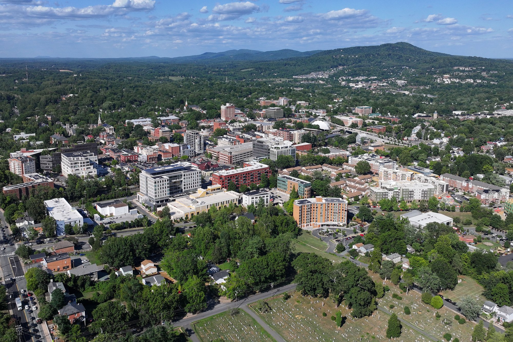
A DRIVE AROUND TOWN
Charlottesville - Virginia - 4K Downtown Drive.
Watch on YouTube ↗Green Springs (National Park Service), about 16 miles east of Charlottesville as the crow flies. Next are Big Meadows Campground - Shenandoah (VA) (34 mi) and Bear Creek Lake State Park (37 mi).
Based on Charlottesville’s average highs, February–December. Conditions at higher elevations can be much cooler.
Federal agencies including National Park Service, USDA Forest Service, Bureau of Land Management. Each listing links to its official page for hours, fees, closures and current conditions.