Sherando Lake Group Picnic Shelter
28 mi west · USDA Forest Service
Sherando Lake Group Picnic Shelter, also known as the Williams Branch Group Picnic Shelter is a part of the Sherando Lake Recreation Area.
Outdoors
Lakes, reservoirs and rivers near Charlottesville for boating, kayaking, canoeing and paddleboarding.
Good to know: Life jackets are required for children on most waters, and many lakes require an invasive-species inspection or a launch fee.
28 mi west · USDA Forest Service
Sherando Lake Group Picnic Shelter, also known as the Williams Branch Group Picnic Shelter is a part of the Sherando Lake Recreation Area.
30 mi west · USDA Forest Service
Sherando Lake Recreation Area's Family Campground provides an ideal camping destination.
37 mi south
Nestled in the heart of the Cumberland State Forest in central Virginia, Bear Creek Lake is less than an hour west of Richmond. It's the perfect getaway for the outdoor enthusiast.
Map of 9 places loads as you scroll.
Sherando Lake Group Picnic Shelter, also known as the Williams Branch Group Picnic Shelter is a part of the Sherando Lake Recreation Area.
Sherando Lake Recreation Area's Family Campground provides an ideal camping destination.
Nestled in the heart of the Cumberland State Forest in central Virginia, Bear Creek Lake is less than an hour west of Richmond. It's the perfect getaway for the outdoor enthusiast.
Hopper Creek Group Camp offers a rustic atmosphere under the trees for group camping. Nestled in the Blue Ridge Mountains, the area welcomes visitors to enjoy the natural beauty and relaxing atmosphere.
Mallows Bay-Potomac River National Marine Sanctuary is home to a diverse collection of shipwrecks, as well as an array of wildlife inhabiting the surrounding area of Mallows Bay.
Featherstone National Wildlife Refuge consists of 325 acres of woodland and freshwater tidal marsh.
Canaan Valley National Wildlife Refuge, the nation’s 500th was established on August 11, 1994, with the purchase of 86 acres. The refuge currently is 18,986 acres.
Rappahannock River Valley National Wildlife Refuge was established in 1996 to conserve and protect fish and wildlife resources, including endangered and threatened species and wetlands.
Distances are straight-line miles from the center of Charlottesville. Listings come from Recreation.gov’s federal recreation database; check each official page for hours, fees, fire restrictions and closures before you go.
A DRIVE AROUND TOWN
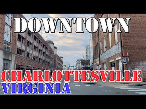
Charlottesville - Virginia - 4K Downtown Drive.
Watch on YouTube ↗Sherando Lake Group Picnic Shelter (USDA Forest Service), about 28 miles west of Charlottesville as the crow flies. Next are Sherando Lake Recreation Area Family Camping (30 mi) and Bear Creek Lake State Park (37 mi).
Based on Charlottesville’s average highs, April–October. Conditions at higher elevations can be much cooler.
Federal agencies including USDA Forest Service, Fish and Wildlife Service, National Oceanic and Atmospheric Administration. Each listing links to its official page for hours, fees, closures and current conditions.